← All work
Digital twins for planners
Interactive twins of an industrial zone, a district skill and productivity index, and the flow of goods in and out of farming zones.
The problem
Planners decide from reports that are weeks old and spread across departments. It is hard to see a zone, a district or a supply chain as a whole.
What we are building
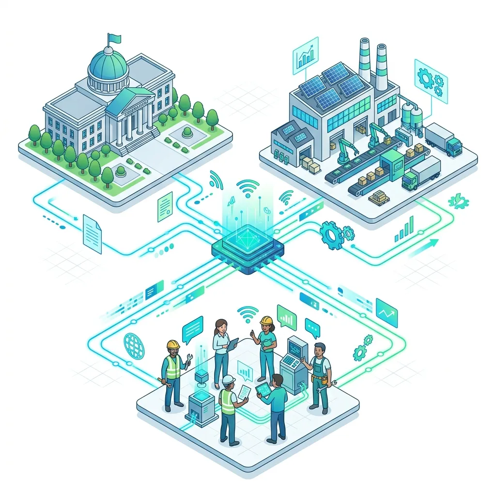
Three interactive twins, each putting one planning question on a single screen:
- An industrial zone twin: an interactive model of the zone for planning and review.
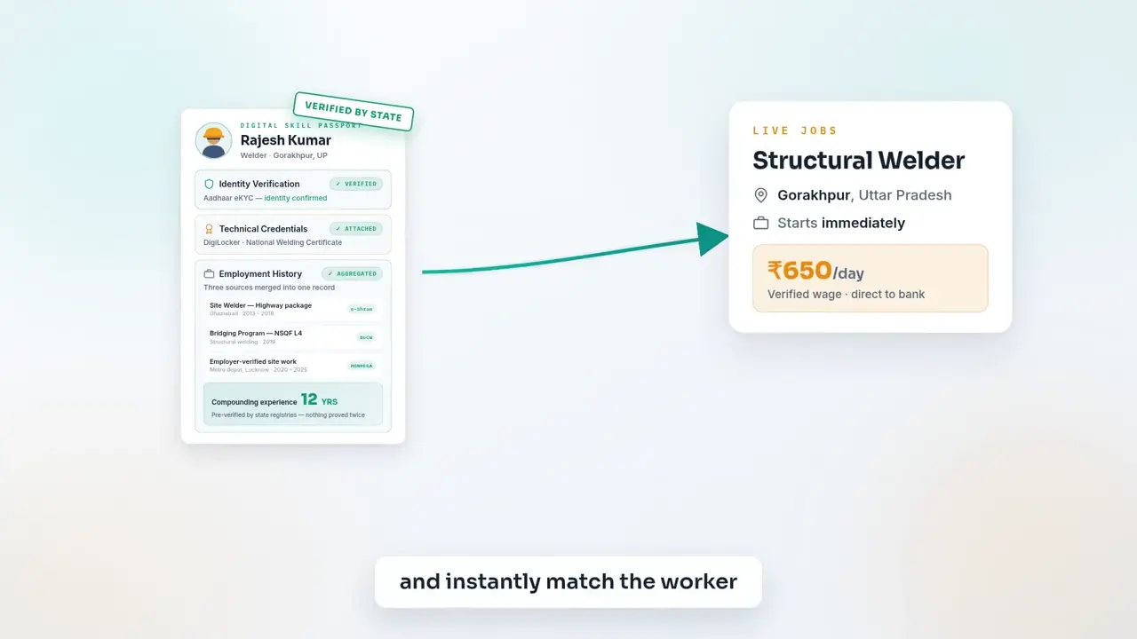
- A district skill and productivity index: skills and productivity across districts, on one screen.
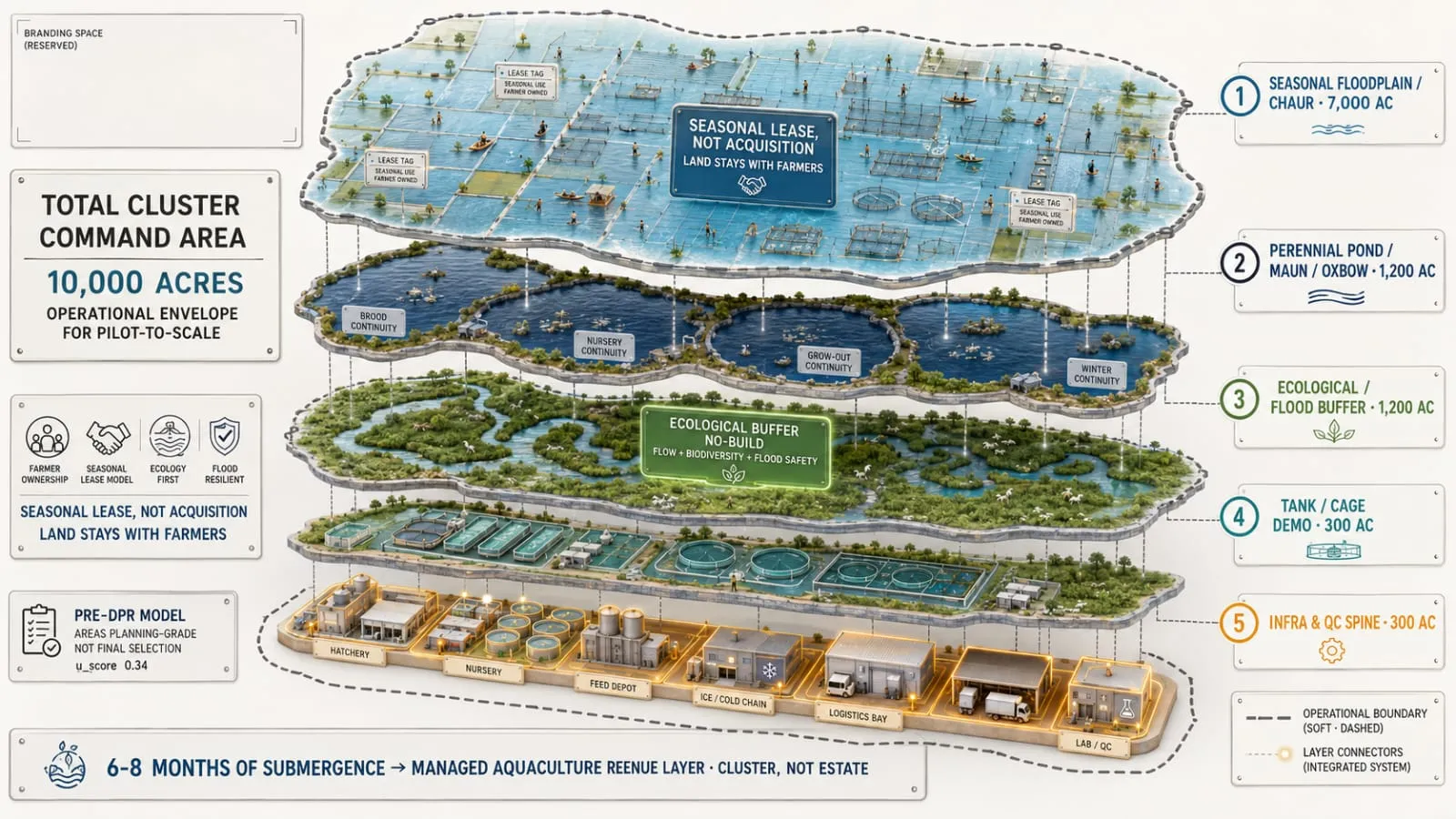
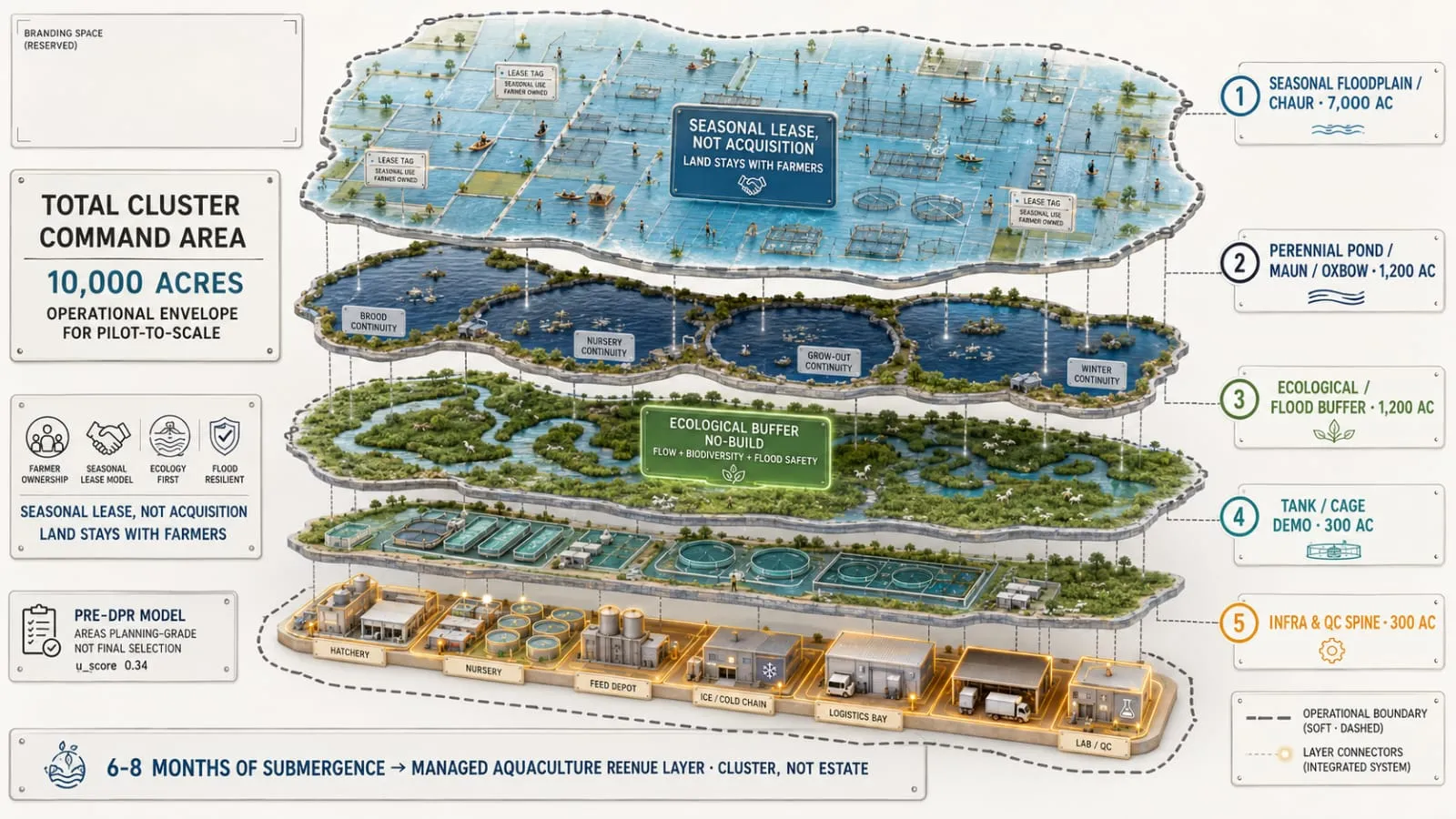
- Farming zones: the inflow and outflow of goods on a single map.
These build on concept notes shared with national and state planning institutions.
Infographic